

| Modern map of the Østfold. Skiptvedt is west of the river Glomma. It is aproximately a one hour drive from Oslo. |
| Map of the Skiptvedt parish, from 1775. The river Glomma to the right. The "Botner" farm can be seen in the midle left part of the picture. |
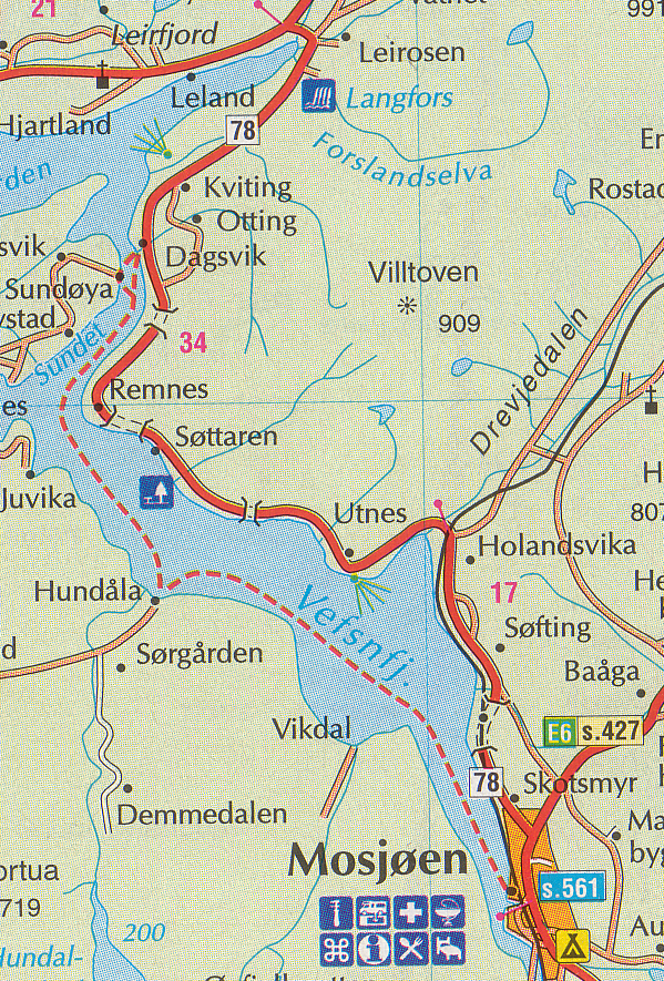
| Map of the Vefsn area, in northern Norway, with the Vefsn fjord. 66 degrees N. |